Monday, September 19, 2011

15th September 2011

A couple of days ago, we hiked the Gspon Hohenweg from Gspon to Kreuzboden and today we continued the Hohenweg from Kreuzboden further up the valley towards Mattmark. I had heard a lot about the Gspon Hohenweg but not a lot about the one we did today. So yesterday I asked at the tourist office about this walk. The brochure mentioned walking so far along the hohenweg and then descending the mountain direct to Saas-Almagell, a village not far from our apartment. But the map showed a route that continued further and the descent by cable-car. They call this section 'The Adventure Trail'. This I thought sounded a far better option. When I asked the lady at the tourist office about extending the hike by this particular route, she kept shaking her head and saying 'No.No.Steps" . Unfortunately, this became a bit of a challenge for me and I thought I would give it a shot. As we set off the mountain views were superb. Surrounded by over a dozen peaks in excess of 4000m and views down into the valley below. The entire hike was over 16km and took us about 6 hours and it was an amazing hike. And The Adventure Trail certainly was that and more.


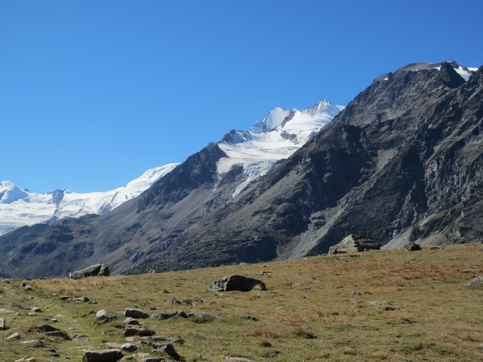
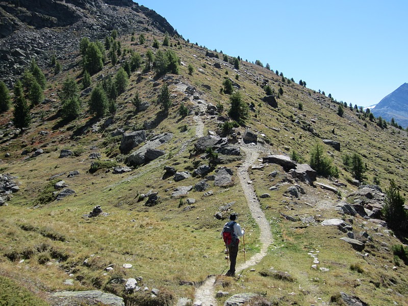
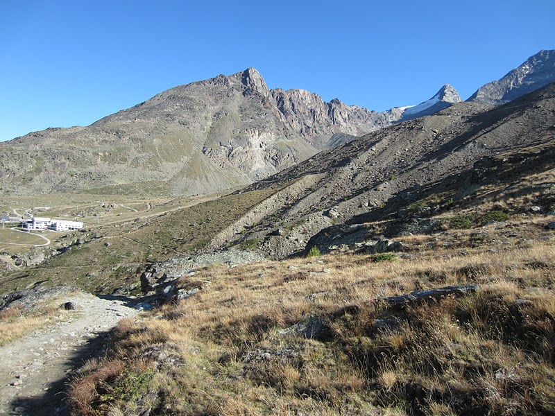
                                   Picking our way across the rocky trail


   Our trail meanders through avalanche barriers as another trail heads off down to the valley


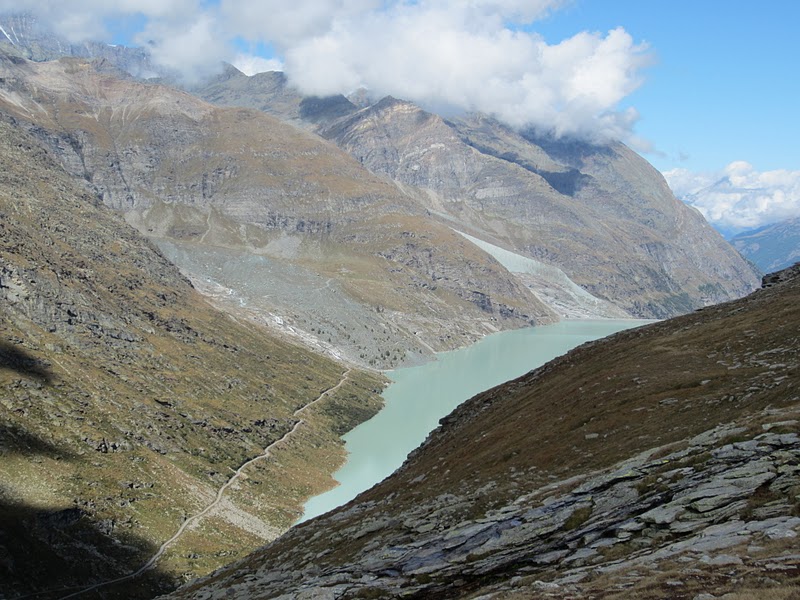
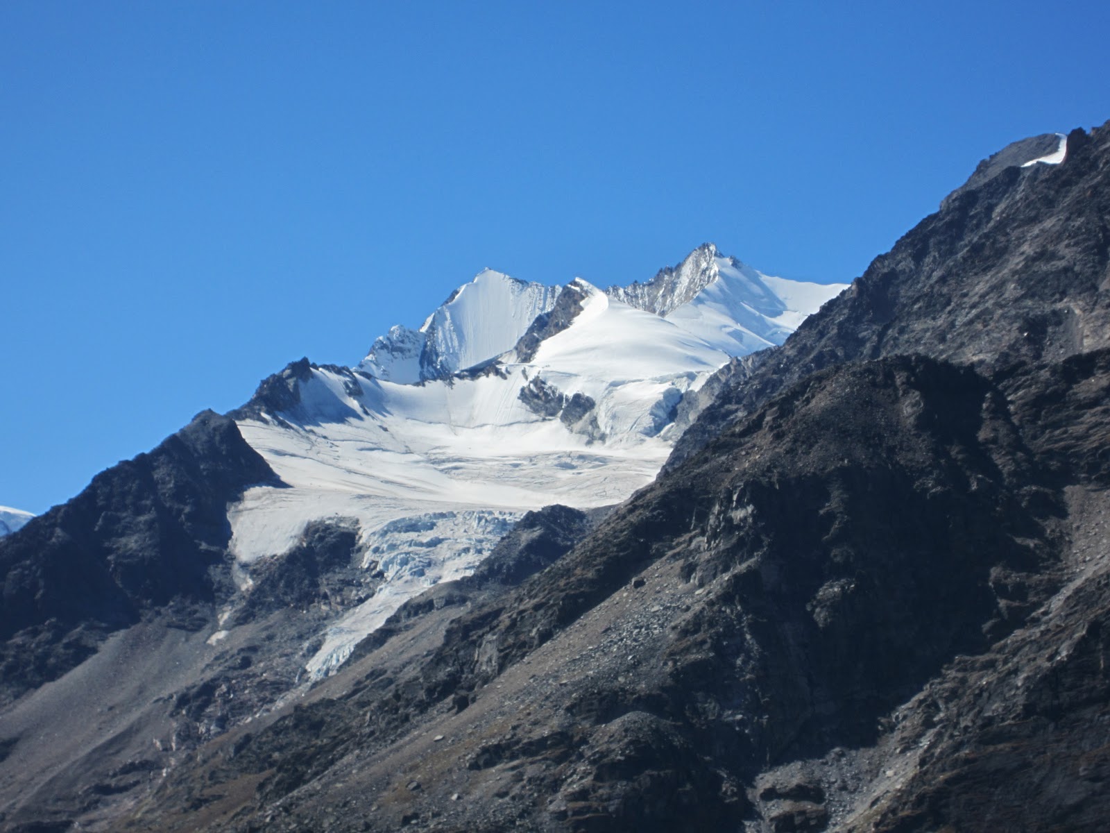
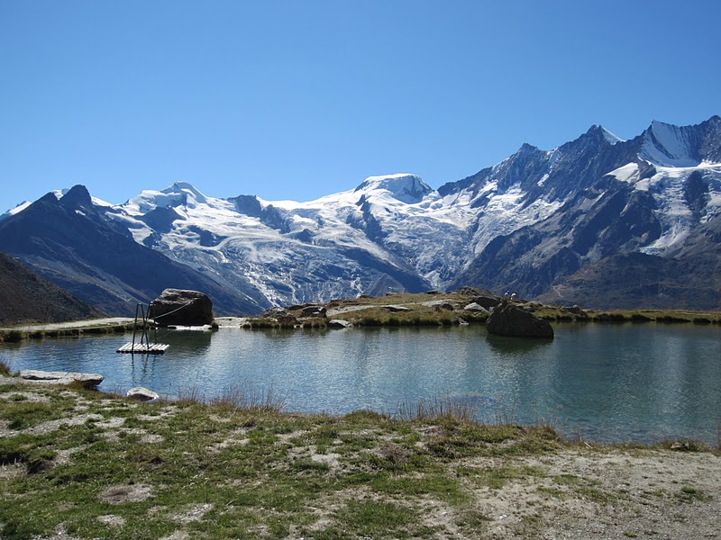
                     The trail ahead looking towards the Mattmark reservoir


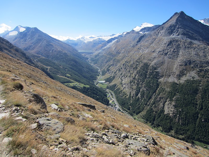
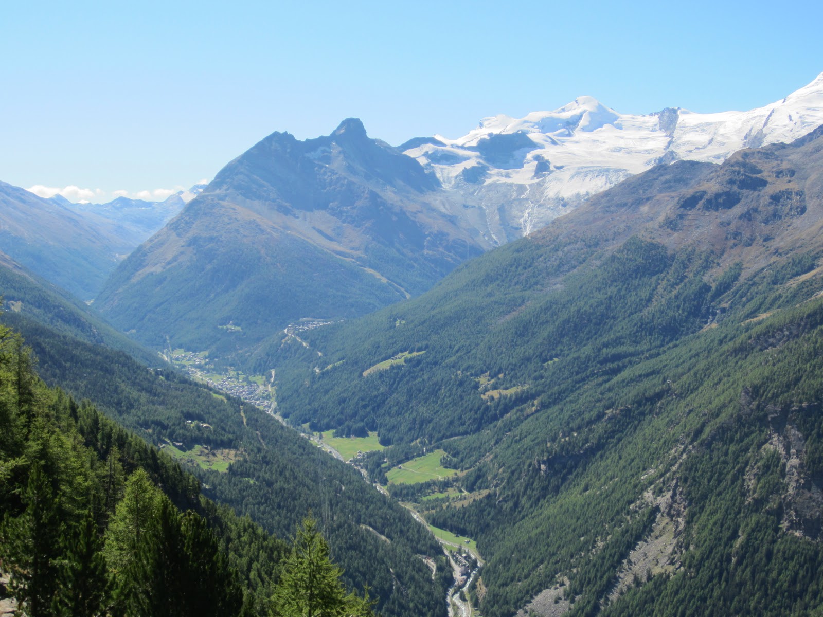
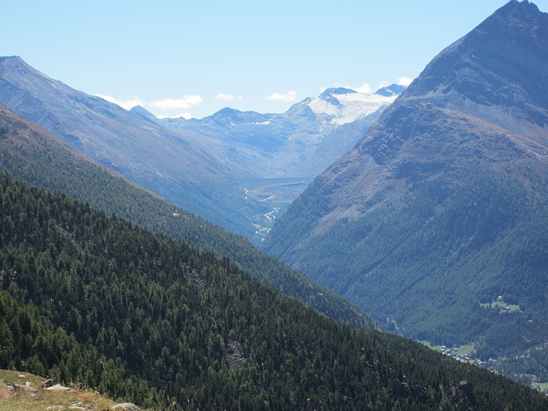
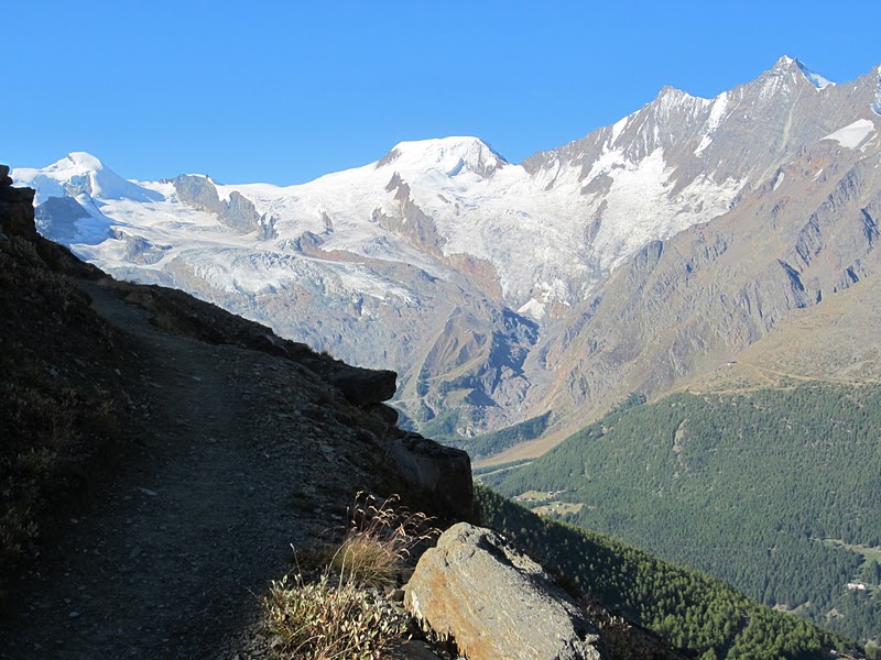
Our final destination before the start of the Adventure trail lies at the bottom of this valley towards the mountains in the background


    The start of the Adventure Trail. The first of 3 bridges, 2 of which are suspension bridges.


 Boards hammered into the rocky cliff face make up the trail. This is definitely no trail for the faint-hearted.


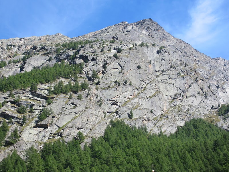
And here are the steps. And they just went on and on. Steadily climbing across and the down the sheer rock cliff face.


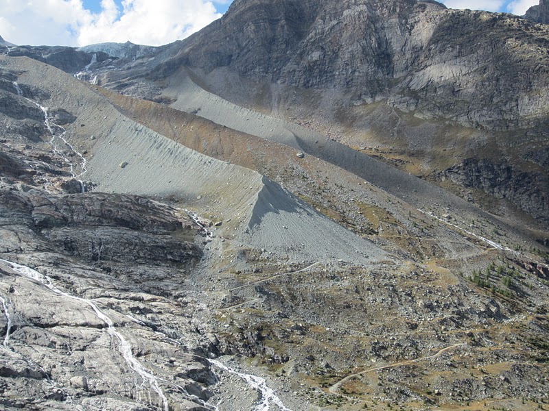
          This is the cliff face that we crossed on the trail looking up from the valley floor


On the walk back to our apartment, I came across this motel and it's amazing display of geraniums and petunias.


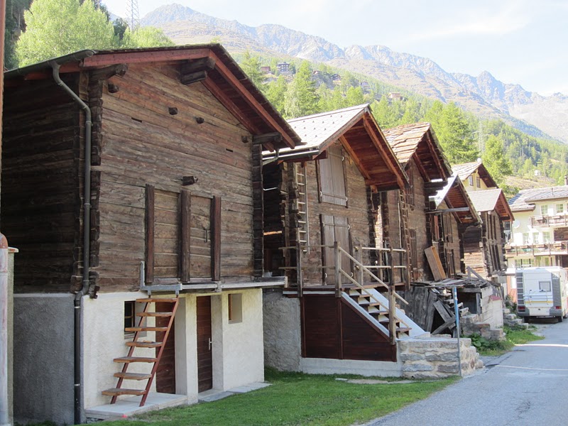
These are grain or feed storage sheds and some are 100's of years old. They grow pasture all around the villages and it is the main summer activity to cut the grass to store in these sheds for feed for the cattle in the winter months. At the start of the summer season, the cable cars are used to get the cattle to higher pastures and then at the start of the winter season, they are brought back down to the valley where they are fed on the stored feed. Bringing the cattle down to the valley is a very special occasion. It is more like a festival and each area usually sets aside a particular day that is advertised months ahead. The place we are staying next will be bringing their cattle down on the 25th September, so I am looking forward to the event.


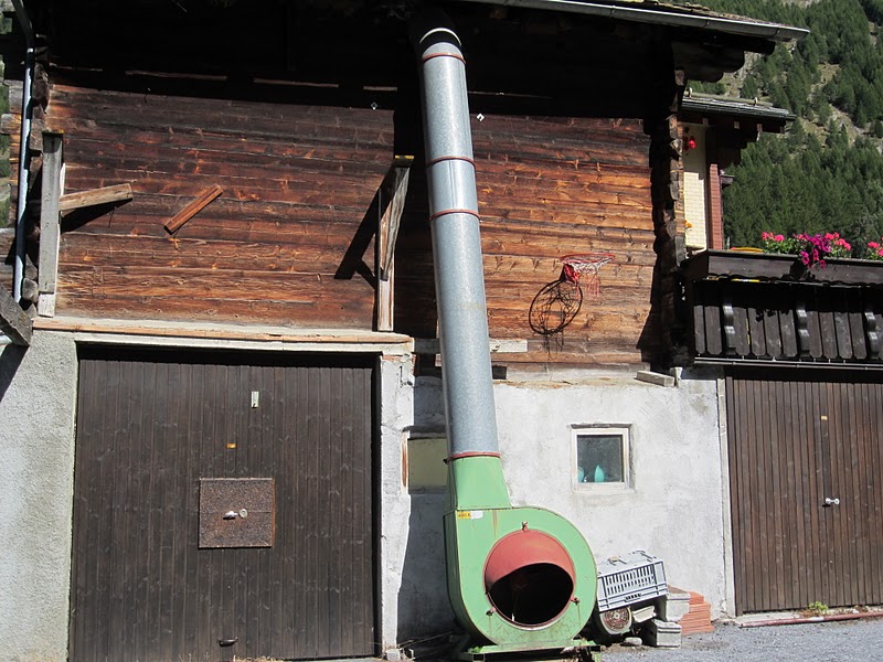
This is how they get the grass (or hay) up into the sheds. It is put into the machine at the bottom and is shot up into the shed. Noisy contraptions they are too. There is one next to our apartment here and the other day we heard this machine start up and the whole apartment started shaking. We were worried the kitchen crockery was rattling so much it was going to break.

Overall, a fabulous day. Great weather, great scenery and some adventure thrown in as well. The weather is forecast to be showery with the possibility of some snow for the next couple of days and then we are heading off to our next apartment at Grimentz. Unfortunately it has no internet, so the blog might go quiet for a while.

14th September 2011

With the weather once again at it's best, we head to the Mattmark reservoir for a hike around the dam, up to Talliboden  at 2492m and to the Ofental Valley. The trail around the dam was on a easy gravel road, but when we got to the southern end and the turn off to the Ofental, the trail became very narrow, rocky and steep. The trail was 12km long and took us about 5 hours. But a great hike.


Sunday, September 18, 2011

13th September 2011

We came to the Saastal valley last year to do the same hike that we did today. Last year it was wet and cloudy and we did not have any views so we decided to have another go. The weather was perfect and the hike was just wonderful. 13km in 5.5 hours along a high balcony trail with stupendous views across and to the head of the valley.


              An early morning start and the views astound from the first step


Looking towards the head of the valley and the Mattmark Reservoir, an area for another day's hike


        Saas-fee above the valley floor surrounded by snow-capped peaks and glaciers


                                       the end in sight at last